We are a part of the Satellite Imagery and Drone Use panel at the EEI Wildfire Technology Summit in Dallas on February 18.
Steve Hambric, President North America at eSmart Systems, will be part of the panel, together with representatives from Battelle Memorial Institute, ORNL, StormGeo and SharperShape.
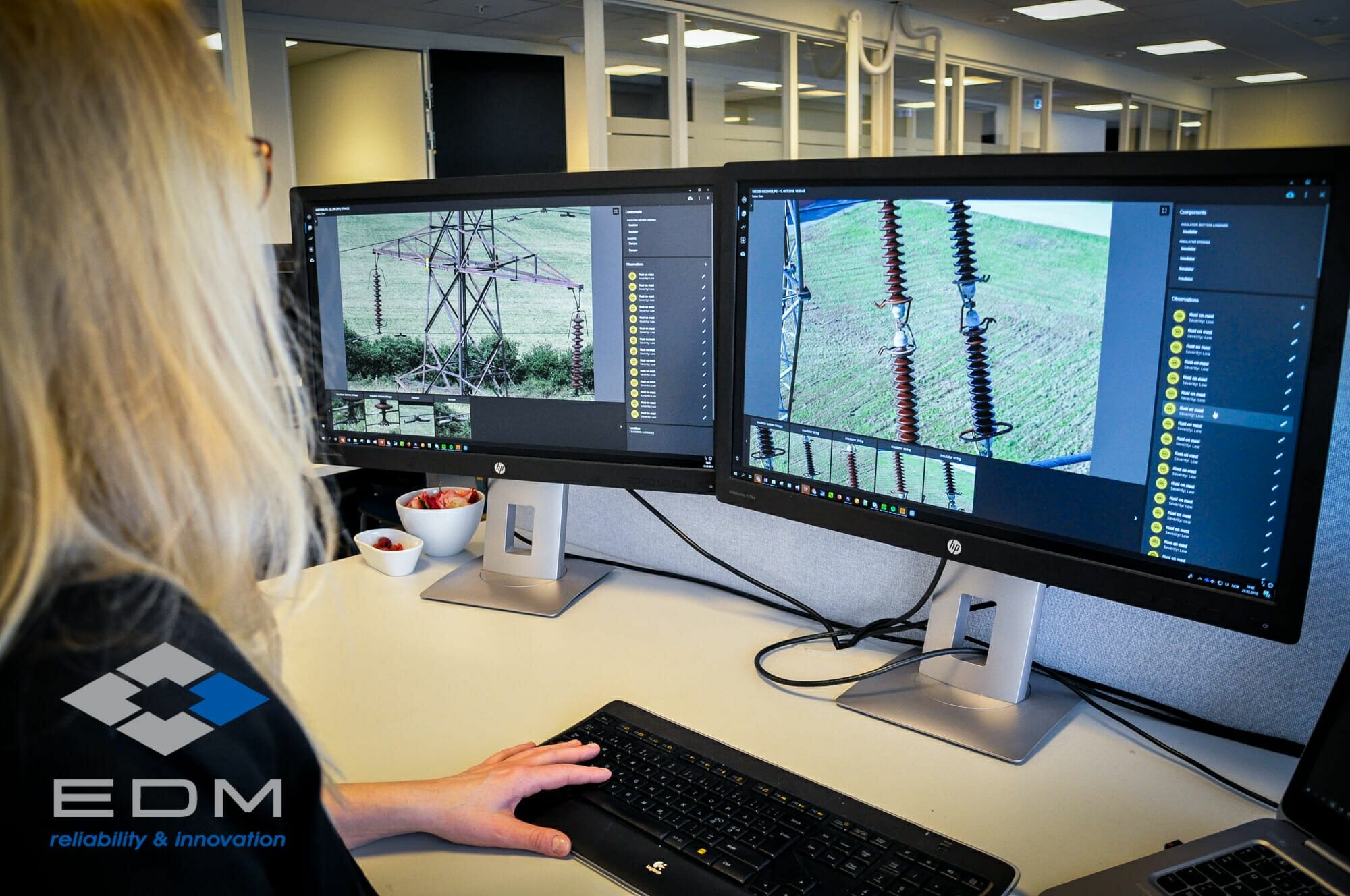
During the panel discussion I will focus on collaborative AI, the efficiency and efficacy improvements of AI in the inspection process, and the use of synthetic data to create algorithms for less common defects
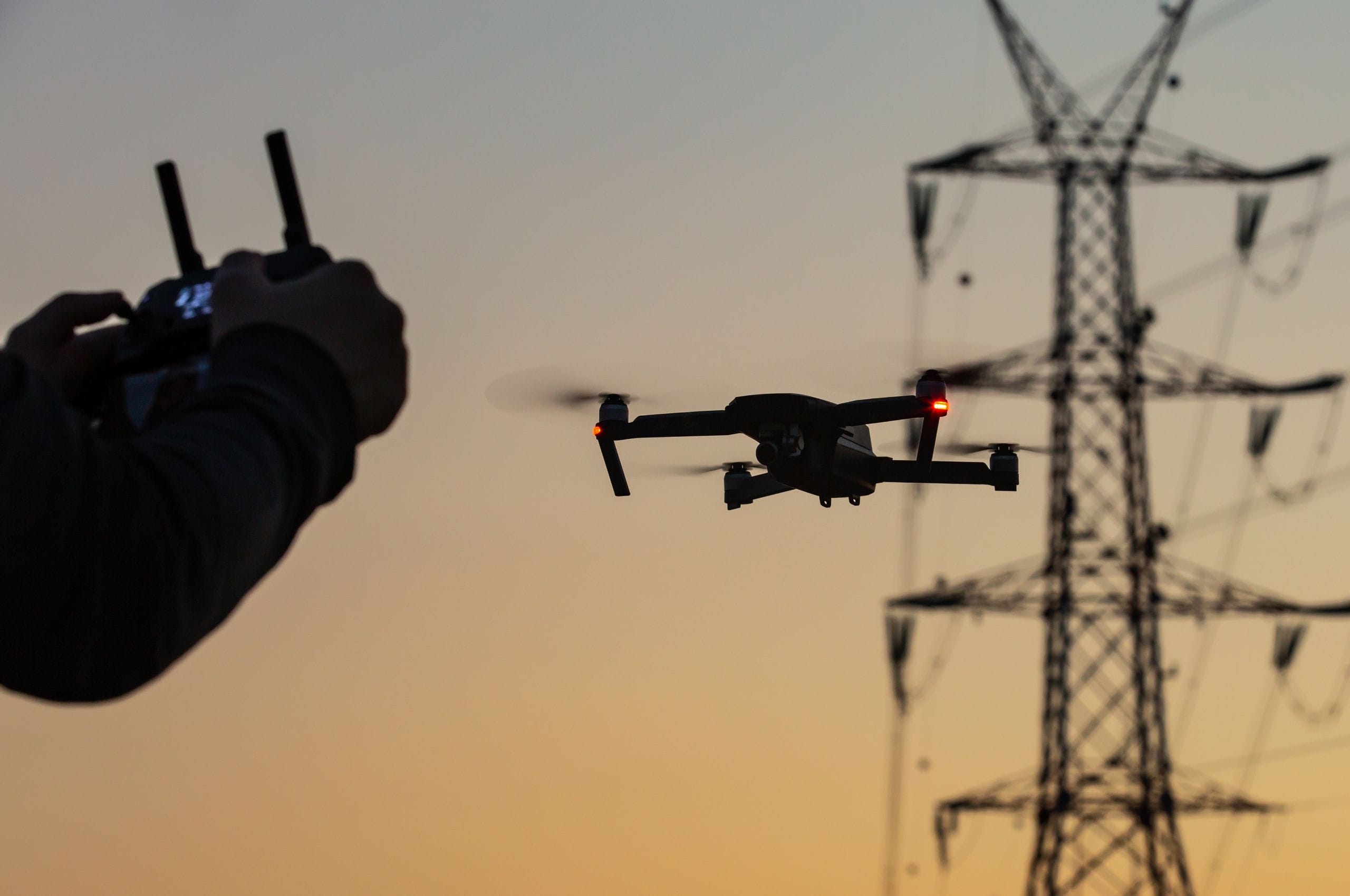
The session will cover an array of solutions and advancements regarding unmanned aircraft systems (UAS) and initiatives related to satellite/geospatial imagery that are now available and/or being applied by electric companies to meet the many challenges around the wildfire threat.
Moderator is Chris Eisenbrey from Edison Electric Institute (EEI).
Utility attendees include PG&E, Xcel, SCE, Oncor, PNM, OG&E among others.
Leverage New Technology
Some areas that will be explored are the application of artificial intelligence (AI) and machine learning; advances in data imagery analytics; federal government and national lab initiatives and activities. In addition to strategies and policies that should be considered that will allow the industry to more fully unleash and leverage the many tools and technologies in this space.
Learn more about EEI Wildfire Technology Summit.
Read also:
Share article
Latest News & Resources
-
eSmart Systems signs a multi-million euro contract with Alliander, the leading energy network group in The Netherlands
eSmart Systems, a global leader in AI-based solutions for -
What is a virtual inspection?
A virtual inspection is an inspection that is carried out -
ESB is going virtual with their infrastructure inspection program
This program aims to digitalize the inspection process and improve